This is the website of Margaret River local and trail runner Rod Bennett. The site showcases some of best Margaret Rivers trails from the point of view of running. I feature some of the well known iconic trails, as well as some of the lesser known or rarely run trails.
If you are new to trail running or new to the area I urge you to look at my Tips and Advice page to get a sense of trail running in the region.
Most of the runs are over 10km but shorter than 15km. For some shorter runs or walks look at the page 6 Short Runs. To get a quick overview of the runs I have listed all the runs in a table and a map overview.
Each trail page will have directions, a map, images, and a bit of chat.
Margaret River Trails
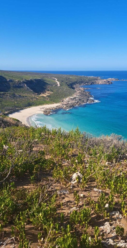
I have divided the runs into three sections in the menu – runs that start from or near Margaret River (Town), runs that go along the coast at some stage (Coast), and forest runs that do not fit into those 2 categories (Country). All the runs are mostly trail, with some gravel road, and a small amount of sealed road if unavoidable.
No run is particulary difficult, and the difficulty gradings given reflect the relatively easy nature of trail runs in this area. Quality gradings reflect the scenery and the general trail running experience. Trails with gravel or sealed roads, busy road crossings, degraded forest, or unchanging scenery will get a lower score. All grades are out of 4.
You can run most of these trails all year. Any exceptions – like easily flooded trails – will be put in the description. All these trails can be walked, and the non-coastal ones can also be ridden.
Maps
I have provided a link for each run to its Map My Run page. You can access them without membership. You can examine the map route and gradient and aerial imagary and print it (by screen printing) or download the gpx or kml file for your phone.
Why These Trails
I have mapped a variety of trails. Obviously I have chosen my favourites, and I have also included some others, such as the infamous Crazy Steps.
Many of these trails are not maintained or are informally maintained. Some – such as the Beer Run is in better condition today that 5 years ago. Others such as Jarrahdene and Rod’s Run may eventualy disappear. If so I will remap it or take it off the site.
Images
All the photographs have been taken since November 2022 on my phone. They have been uploaded to the web without any post processing except to cut the size down to under 1000kb. The photgraphs are – almost without exception – taken of the trail, from the trail and in the direction I have mapped the run. I put them all up without worrying how good they are. They are free to use. I would appreciate a link if you use any in your site or social media posts.
Tours
Local trail runner Mo runs a tour company The Jouney Margaret River and is familiar with many of these trails. He can put a private tour together for you, with trails included, along with the more normal wineries and attractions.
Comment
Please comment if you do one of these runs, or want to ask a question. You can send me your images of the run – see the Finish menu item, and I will post them on the appropriate page.